A park within a network
Potter Park appears repeatedly in Lansing’s recreation history alongside the zoo, riverbank improvements and later park expansion. Its significance is easiest to understand at the scale of the whole system. It belongs to a chain of public landscapes influenced by the Grand and Red Cedar corridors rather than standing as an isolated destination.
The park’s association with a zoo gave it a distinctive role, yet this page does not describe current animals, admission, ownership, hours or programming. Those conditions require live information. The durable subject is how a specialized attraction and a broader park landscape could occupy the same civic setting, drawing together recreation, education, trees and river geography.
The river-corridor context
Lansing’s rivers created low ground that often remained more open than surrounding blocks. Over time, riverbanks became part of a connected public landscape. Trails, fields, gardens and larger recreation sites could be related through the waterway even when streets approached them from different directions. Potter Park belongs to this logic of linear connection.
A riverside park is experienced through edges. Open lawn meets woodland; maintained path meets leaf litter; built facilities meet floodplain vegetation. Water may be present as a view, a sound or simply as the reason the land around it remains open. These transitions provide a richer reading than any single object within the park.
Growth under the 1922 plan
Harland Bartholomew’s city plan criticized the uneven development of Lansing’s early park system. By the time he returned in 1938, the city had added roughly 300 acres of parkland since 1930. The summary included additions to Potter Park, municipal golf grounds, Scott Field and improvements along riverbanks. Potter Park was therefore part of a deliberate effort to expand recreation and open space together.
The planning story also included nearly 11,000 street trees planted after 1930. Parks and street canopy were not identical programs, but they shared a horticultural vision. Trees should shape the daily city, whether lining a residential block or organizing a public ground. A park like Potter could be read as part of that larger canopy.
Season and pace
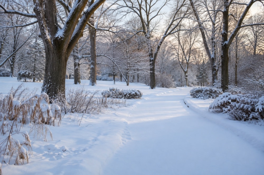
Winter makes park structure especially clear. Without dense leaves, trunks define space and paths become strong lines across snow. Open and wooded areas separate sharply. In spring, wet ground and new growth emphasize the river setting. Summer canopy creates enclosure, while autumn turns tree variety into color and texture.
Pace changes attention too. A quick passage focuses on route and destination. A slower walk brings out the shape of an old tree, the direction of drainage and the threshold between a formal path and a looser landscape. Even without entering a specialized facility, the park can be read as a designed relationship among movement, vegetation and open ground.
A place for public memory
Long-used parks accumulate memories that do not always appear in plans. Family outings, school visits and familiar seasonal scenes create personal geographies. That social layer is difficult to summarize without collecting individual stories, but it matters. A civic landscape persists partly because people recognize it as a recurring setting in ordinary life.
The early municipal website treated Potter Park as one of Lansing’s prominent places, often placing it beside Fenner Nature Center, Turner-Dodge House, gardens and recreation facilities. That grouping reveals a broad concept of public culture. Nature, heritage, animals, sports and cultivated landscape all belonged to the city’s sense of what residents and visitors might encounter.
Reading without overclaiming
A current guide would need to verify every facility and visitor detail. This independent reference takes a different approach. It explains Potter Park’s historical role and geographic setting while leaving live conditions to official or on-site sources. That boundary avoids turning heritage into stale instruction.
Seen this way, Potter Park is a chapter in Lansing’s long negotiation with its rivers and open spaces. It shows how a specialized civic place can belong to a continuous landscape—one linked by water, trees, paths and the planning ambitions of several eras.
Its story also demonstrates why park history is relational. The clearest questions are not only what occupied the grounds, but how the grounds met the river, connected with nearby routes and fit within a growing network of public landscapes.