A city in a shallow bowl
Lansing lies within a gently shaped basin of rolling ground. The Grand River passes through in a broad loop rather than a straight channel. The Red Cedar River approaches through low land, and Sycamore Creek joins it a short distance before the Red Cedar reaches the Grand. Together these waterways establish a geographic center that is lower, wetter and more sinuous than the surrounding street grid suggests.
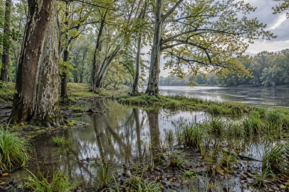
The Red Cedar and Sycamore Creek have little fall, so they bend across an extensive floodplain. Water moves slowly enough for channels to loop and for wet ground to persist. On a map, the city may look organized by orthogonal streets. On the ground, the rivers introduce another geometry: curves, confluences, cut banks, low terraces and strips of land that resist the logic of blocks.
Wet ground and tree communities
Early accounts distinguished the floodplain from better-drained land. Oak and maple were associated with higher ground chosen first for farms and residential development. Elm, soft maple and other wet-ground species remained in swampier or less accessible areas. Clearing therefore did not affect every part of the landscape equally. The least convenient ground often kept the strongest trace of earlier woodland.
By the mid-twentieth century, a large share of Lansing’s unmanaged trees were swamp elms in neglected low areas. That pattern shaped the later challenge of Dutch elm disease. Ecological conditions, access and administrative boundaries all converged: trees were concentrated where maintenance was difficult, while annexation added areas in which disease had already become established.
Confluences as civic places
A confluence is both an ecological event and a spatial marker. Water from different corridors joins, and land routes must respond. In Lansing, the meeting of the Red Cedar and Grand helps explain why river paths can connect large sections of the city. The trail corridor turns hydrology into an everyday sequence, carrying walkers and riders past wooded edges, open parkland and bridge approaches.
The Grand River also shaped the lower village. An early dam and sawmill used the river as power and resource. A bridge at the road crossing encouraged commerce. Farther south, other crossings helped the middle and upper villages develop. Bridges did not erase the river as a boundary; they made selected points of passage especially important.
Floodplain as open-space structure
Low ground can be difficult for intensive building, yet that limitation may preserve continuity. Riverbanks became part of Lansing’s park and recreation planning. Improvements along the water appeared beside new parks, golf grounds and street-tree planting in the record of the 1922 city plan. Later trail development made the corridor legible as a connected public landscape.
This does not mean every river edge is parkland or that a floodplain is naturally simple. Urban rivers carry the consequences of upstream land use, bridges, pipes and engineered banks. Lansing’s combined-sewer-overflow project illustrates how underground systems and surface water are connected. Environmental improvement can depend on infrastructure far from a scenic viewpoint.
Seasonal river reading
Season changes what can be seen. Leafless months expose channel bends, slope and bridge structure. Spring emphasizes saturated ground and the reach of water into side channels. Summer canopy narrows views but deepens shade. Autumn distinguishes tree communities through color and makes leaf litter part of the river-edge texture.
Light and weather also change the apparent speed of water. A calm surface can reflect trees and sky so completely that the channel feels still, while wind or high flow breaks that image into motion. The same bend can read as broad, enclosed, bright or severe depending on conditions. Repeated observation is more informative than a single scenic impression.
Water beneath urban history
Lansing’s founding, industrial growth, park system and urban forest all depend on river geography. The early villages formed at crossings and useful bends. Industry followed transport and water. Parkland occupied stretches of low ground. Street-tree planning responded to soils and expanding boundaries. Wastewater engineering addressed the consequences of a growing city within a river basin.
That is why the rivers belong near the beginning of any Lansing guide. They are not merely attractions within the city. They are the physical framework around which settlement, movement and public landscape developed. To read Lansing well is to notice where the regular street grid yields to water.