Forest before street grid
Early descriptions placed Lansing within exceptionally dense deciduous forest and difficult wet ground. The city occupies a shallow bowl framed by gentle hills, with the Grand River forming a wide loop and the Red Cedar River and Sycamore Creek winding through a broad floodplain. Because those smaller streams fall only gradually, their channels bend across low land. Wet areas supported elm and soft maple, while better-drained ground carried oak and maple.
Settlement cleared the most workable land first. Farms and later residential districts favored higher, drier sites. Swampier tracts were more likely to keep their wild trees, which meant that by the mid-twentieth century many surviving unmanaged trees were elms growing in difficult bottomland. This environmental sorting matters. Lansing’s tree story was never simply a line from forest to pavement; it was a patchwork shaped by drainage, access, soil and the order in which land was developed.
Planting becomes a civic project
In 1878, an early municipal measure known as Ordinance No. 32 addressed the planting and protection of shade and ornamental trees. The measure belongs to its own historical setting, not to present-day law, but it reveals how quickly street trees became part of Lansing’s civic identity. Mature hard maples associated with early planting survived long enough to connect later residents with the first generations of planned canopy.
Lansing became a home-rule city in 1912. In 1920 the city engaged planner Harland Bartholomew to prepare a comprehensive plan, and H. Lee Bancroft, then superintendent of parks and city forester, served on the planning commission. Their presence in the same effort joined street design, parks and horticulture. Trees were not treated as leftover decoration. They appeared as a basic element of how a street should feel and function.
The 1922 plan and a broader canopy
Bartholomew’s 1922 plan criticized the uneven growth of both parks and street planting. He noted that native forest had largely disappeared from developed ground even as planted trees took its place. He encouraged home landscaping with lawns, shrubs and trees, but argued that consistent street planting could not depend entirely on individual property owners. New subdivisions and older streets receiving curbs and other improvements were opportunities to build a coordinated canopy.
When Bartholomew returned in 1938, he credited substantial progress. Since 1930, Lansing had added roughly 300 acres of parkland and planted about 11,000 street trees. The park growth included municipal golf landscapes, additions around Potter Park, Scott Field and work along riverbanks. The numbers show scale, but the larger achievement was continuity: individual streets, recreation grounds and river edges were being considered as parts of one public landscape.
Disease meets expansion
Dutch elm disease complicated that vision. The challenge was not only biological. Annexation brought large areas into the city after disease and bark beetles had already become established there. Dead trees had accumulated in places without a coordinated control program. Each expansion enlarged the territory to be surveyed and maintained while increasing the number of vulnerable elms. The canopy became a lesson in how municipal boundaries and ecological systems rarely change on the same timetable.
Between 1956 and June 1965, annexation more than doubled Lansing’s land area. The city expanded from about 9,646 acres to 21,294 acres. Population rose from 92,129 to 130,398, and the resulting area reached 33.27 square miles. Every new street and lowland tract added to the responsibilities of urban forestry. Tree care had to scale with the city itself.
How to read the canopy
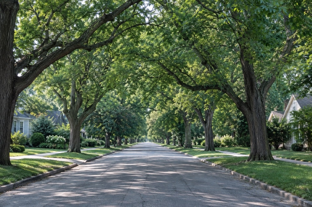
A mature street tree can be read as both a living organism and a planning decision. Its placement may reflect a subdivision era, a coordinated planting campaign or replacement after disease. A patch of soft maples beside water points back to floodplain conditions; an oak-lined street may signal drier ground. Gaps can be as revealing as continuity. They mark storms, disease, construction and the long delay between planting a tree and experiencing a full canopy.
Lansing’s urban forest is therefore a record of persistence rather than permanence. The species change, city limits move and management priorities evolve, yet the aspiration survives: streets and parks should be shaped by trees, not merely contain them. That idea connects the nineteenth-century shade-tree measure, the 1922 plan, the mid-century response to disease and the everyday experience of walking beneath branches on a residential block.